Ines Krüger · 24 October 2026
Student-Led Biodiversity Mapping Sparks Fresh Approaches to Coastal Heritage Planning
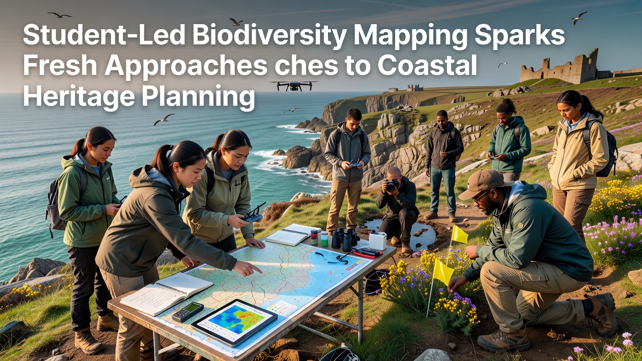
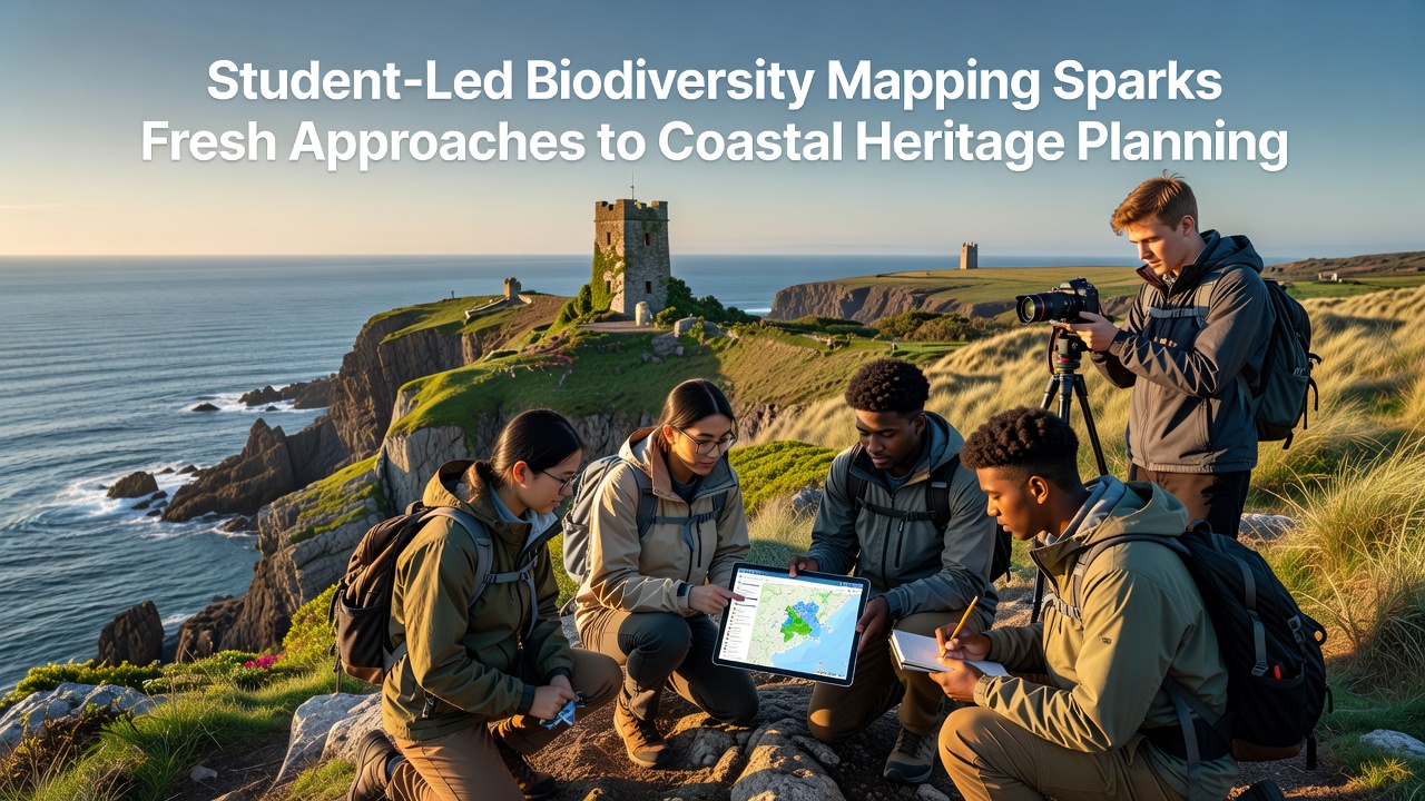
Student teams from universities across multiple continents have taken the lead in biodiversity mapping projects that integrate ecological data with cultural site assessments, and these efforts now shape how planners approach coastal heritage preservation. Researchers at institutions in Australia, Canada, and several EU member states report that student-collected datasets reveal previously undocumented species interactions near historic harbors and archaeological zones, while the same maps highlight erosion patterns that threaten both natural habitats and submerged artifacts. Government agencies such as Australia's Department of Climate Change, Energy, the Environment and Water have begun incorporating these student surveys into regional management plans because the data arrive at finer spatial resolution than many official monitoring programs can achieve on limited budgets.
Project Structures and Data Collection Methods
University programs organize field teams that combine marine biology majors with archaeology and GIS specialists, and participants deploy drone surveys alongside underwater transects to record species distributions around shipwrecks and historic piers. One initiative coordinated through the University of British Columbia produced layered maps that link kelp forest health to the stability of nearby Indigenous fishing weirs documented in oral histories. Those maps now feed into British Columbia's coastal zone planning software, where planners adjust setback distances for new infrastructure based on combined biodiversity and heritage layers. Training protocols emphasize standardized protocols developed by the Intergovernmental Oceanographic Commission, which allows datasets from different student groups to merge without extensive recalibration.
Integration with Heritage Planning Frameworks
Coastal heritage planners traditionally relied on static inventories of sites, yet student mapping introduces dynamic variables such as seasonal migration corridors and invasive species spread that alter site vulnerability over short timeframes. In Norway the Directorate for Cultural Heritage has tested student-generated models that predict how shifting eelgrass beds might expose or bury medieval landing sites, and preliminary results prompted revisions to maintenance schedules for several protected locations. European Environment Agency reports from 2025 note that such student contributions increased the number of monitored coastal segments by 18 percent in participating member states without additional public expenditure. The approach also surfaces connections between biodiversity loss and intangible heritage, because many traditional fishing practices depend on species that student surveys now track in real time.
October 2026 Developments and Cross-Border Collaboration
October 2026 marks the scheduled release of a joint report from the North Atlantic Marine Alliance that aggregates student mapping outputs from Canada, Iceland, and Ireland, and organizers expect the document to influence revisions to the EU Marine Strategy Framework Directive implementation guidelines. Workshops planned for that month in Reykjavik will pair student teams with heritage officers to refine data-sharing platforms, while parallel sessions in Halifax focus on adapting similar methods for Atlantic Canada. Figures from the Canadian Department of Fisheries and Oceans already show that student contributions helped identify three new sensitive benthic zones adjacent to 18th-century port remains, prompting temporary fishing restrictions that protect both ecological features and archaeological context.
Challenges in Scaling and Standardization
Although student projects deliver high-resolution data, questions remain about long-term data stewardship and quality assurance across successive academic cohorts. Observers note that some university programs lack permanent archiving arrangements, which risks loss of longitudinal records when students graduate. Several national agencies have responded by establishing shared repositories modeled on the Global Biodiversity Information Facility, and these platforms now accept student uploads after automated validation checks. Funding remains uneven, with projects in well-resourced universities producing more complete coverage than those in regions where equipment access is limited. Professional societies such as the Coastal and Estuarine Research Federation have begun offering micro-grants specifically for student groups that commit to open-data standards.
Conclusion
Student-led biodiversity mapping continues to expand the evidence base available for coastal heritage planning, and agencies from multiple countries now treat these datasets as core inputs rather than supplementary materials. The pattern of collaboration between academic teams and government bodies demonstrates how distributed data collection can address gaps in official monitoring while training the next generation of specialists. As October 2026 approaches, upcoming cross-border reports and workshops will likely accelerate adoption of these integrated mapping approaches across additional coastal jurisdictions.